maps and deeds
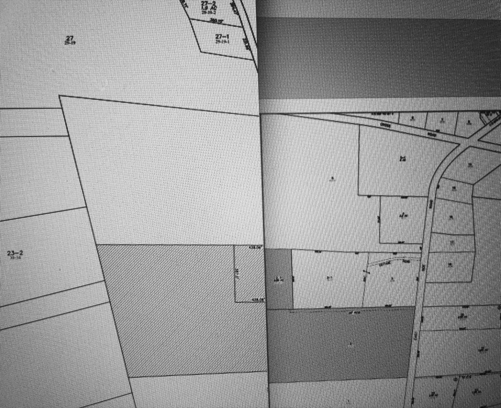
I spent a lot of time on websites researching tax maps and deeds. Earliest deed is Book 252, Page 173, documenting Nahum and Mary Jellison conveying property rights to William Jellison on January 28, 1891. Tax maps are primarily 111 and 201, with a bit of 113 where Cross Road bends. Orienting us in place and past, at least as far as public records will take me.
Sites:
Hancock Registry of Deeds
Map 111, easterly portion, our place is a part of parcel “5”
Map 201, westerly portion
Map 113, showing portion of Cross Road at lower left
Forgetting how to take a screenshot in IOS, I had to manipulate the maps and take a photo (apologies for the moire). Our property is a small 2.5 acres within the large trapezoidal shape sitting over the shaded area, which is the Crabtree Neck Preserve.